
This is an archived version of this site. For the new active version, please click here.
|
|
|
|
Training Course - An Introduction To Using GIS In Ecological Field Studies, Scottish Centre for Ecology and the Natural Environment (SCENE), Rowardennan, Near Glasgow, 17th - 19th June 2014
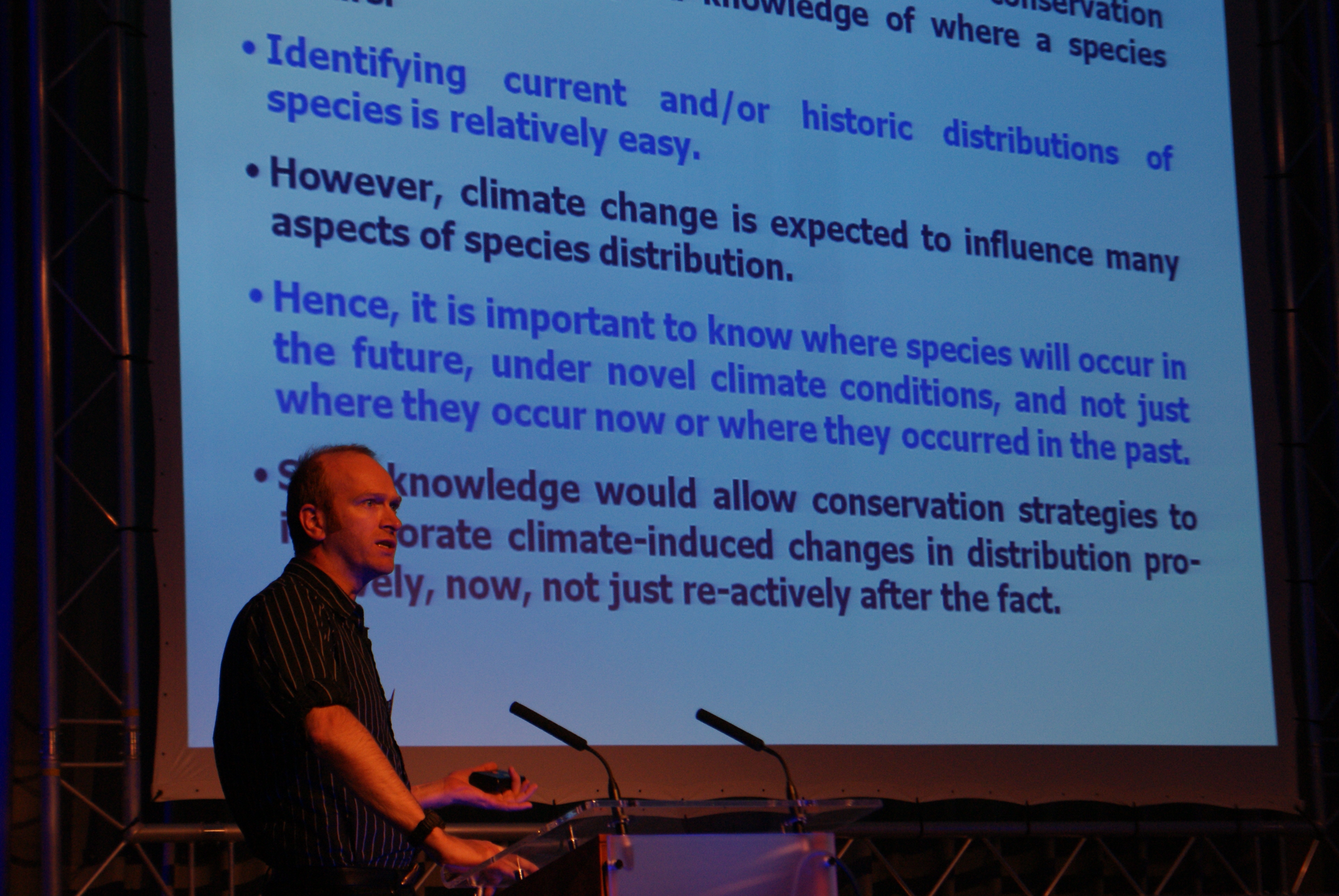
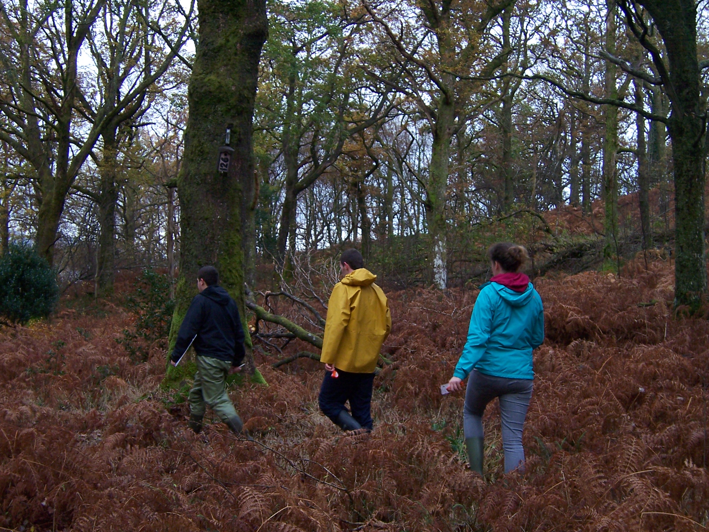
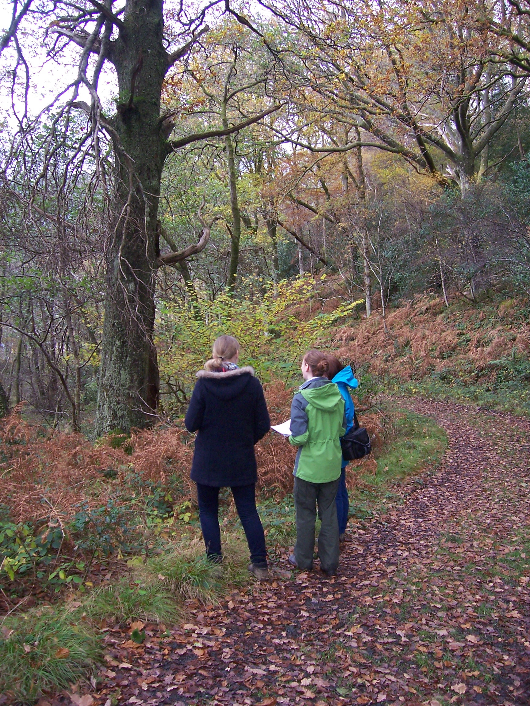
The course will consist of a mix of background talks, practical sessions based around ArcGIS software and field sessions conducted in the local oak woodland. The field sessions will provide experience in how to collect data in a manner that is GIS-compatible. The course will cover areas such as making a map for a paper or a report, extracting information from Google Earth for use in a GIS project, collecting GIS-compatible data using a GPS receiver, transferring data between a GPS and a GIS project, creating raster data layers of environmental information, importing data to a GIS project from a spreadsheet and linking species records to environmental information. A preliminary course timetable and content can be downloaded by clicking here.
At the end of the course, all attendees will receive a certificate of attendance and completion. Each certificate is embossed with the GIS In Ecology official stamp to prevent its fraudulent reproduction. In addition, each certificate has its own unique identification number that we will record, along with your name, meaning that we can verify the authenticity of the certificates we issue (and the course you have completed) on request.
|
|
|
GIS In Ecology Buttons For Your Website:
|
 GIS
In Ecology will be holding an introductory training course on using GIS in
terrestrial ecology in at the
GIS
In Ecology will be holding an introductory training course on using GIS in
terrestrial ecology in at the
 All
the practical exercises will be done using a standard data set so you do not
need to have your own data to do this course. Attendance will be limited to a
maximum of 12 people. Transport to and from SCENE from Glasgow can be arranged
in request, and a residential option, including meals and accommodation, is
available. This course will be run in conjunction with
All
the practical exercises will be done using a standard data set so you do not
need to have your own data to do this course. Attendance will be limited to a
maximum of 12 people. Transport to and from SCENE from Glasgow can be arranged
in request, and a residential option, including meals and accommodation, is
available. This course will be run in conjunction with
 To attend this
course, you must bring your own laptop computer and have a fully licensed copy
of ArcGIS software (the course will primarily be taught based on ArcGIS 10.2,
but ArcGIS 10.1, 10 and 9.3 will also be supported), and a licence for the ArGIS Spatial Analyst
extension pre-installed on it. You can find information about how to get this
software package by clicking
To attend this
course, you must bring your own laptop computer and have a fully licensed copy
of ArcGIS software (the course will primarily be taught based on ArcGIS 10.2,
but ArcGIS 10.1, 10 and 9.3 will also be supported), and a licence for the ArGIS Spatial Analyst
extension pre-installed on it. You can find information about how to get this
software package by clicking